Acity Point Route Hotel

How the week fits together

The Lakes route runs seven days through the Salzkammergut in Austria, from a reed shore to the hotel jetty. It alternates lake days and pass days, so no two hard days follow each other.

Distances and heights below are for the route as we walk it in a normal season. Lake names and pass names are our own, kept short so they are easy to say at a breakfast table. The sketch map shows order, not scale.

The sketch map

Sketch map of the Lakes route Seven stops joined by a dotted line: Reedwater, Larch Saddle, Pine Mirror, Greywall Pass, Fogmere, Stonecrest Pass and Long Water, where the hotel stands. Lakes are shaded, passes are triangles. The sketch is not to scale. 1234567 ReedwaterLarch SaddlePine MirrorGreywall PassFogmereStonecrest PassLong Water hotel
The seven stops in order. Shaded shapes are lakes, triangles are passes, the dotted line is the path we take.
  1. 1
    Distance
    9 km
    Time
    3 hours
    Climb
    120 m
    Highest
    640 m

    Reedwater

    Lake day, grade shore

    Reedwater is where we find out who packed too much. A path of packed gravel keeps to the eastern shore, with reed beds on one hand and larch on the other, and it never climbs more than a few steps at a time.

    We stop twice, at a boardwalk over the reeds and at an old fishing jetty on the far side, and reach the guesthouse before four. There is a gravel beach for swimming. The water is cold in May and only brisk by August.

  2. 2
    Distance
    13 km
    Time
    6 hours
    Climb
    880 m
    Highest
    1,590 m

    Larch Saddle

    Pass day, grade slope

    From the guesthouse door a stony track rises through larch wood for about two hours, and then the trees give way to grass and the saddle shows itself as a notch against the sky.

    At the top there is a stone shelter and a bench facing back along the shore we walked yesterday. The far side drops gently enough to talk on, and ends at a farm where the milk is still warm and the bread is a day old on purpose.

  3. 3
    Distance
    8 km
    Time
    3.5 hours
    Climb
    240 m
    Highest
    1,120 m

    Pine Mirror

    Lake day, grade shore

    Pine Mirror sits in a stone bowl at 1,120 metres and stays still until the wind comes over the rim. Old pines lean out over the water from a shelf on the north side, their roots gripping the rock.

    The circuit takes about two hours, and we spend the rest of the day doing very little. The route after this one is hard on tired legs, which is why the afternoon is empty.

  4. 4
    Distance
    14 km
    Time
    7 hours
    Climb
    960 m
    Highest
    1,880 m

    Greywall Pass

    Pass day, grade crest

    We leave before the sun reaches the north face, while the limestone is cold and the path is firm. The first hour is steep, then the slope eases onto a broad ledge where chamois sometimes watch us go by.

    At 1,880 metres Greywall is a gap between two grey walls, windy even in July, and the high point of the week. Everyone puts on another layer. The way down is long and loose underfoot, and poles earn their weight here.

  5. 5
    Distance
    10 km
    Time
    4 hours
    Climb
    180 m
    Highest
    770 m

    Fogmere

    Lake day, grade shore

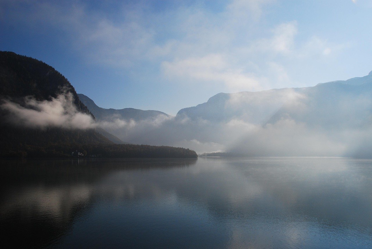
    Fogmere makes its own weather. By morning a layer of mist lies on the water and does not lift until ten, and the wooden boathouse on stilts at the halfway point appears and vanishes as we walk past it.

    Underfoot it is mostly level, through damp meadow, and the day is short. Most of us use the spare hours to dry boots and sleep.

  6. 6
    Distance
    12 km
    Time
    6 hours
    Climb
    810 m
    Highest
    1,720 m

    Stonecrest Pass

    Pass day, grade slope

    This is the ridge day. We leave the Fogmere valley by switchbacks and then follow a crest for three hours, with the three lakes of the week lying below us in turn: one grey, one dark green, one still catching the morning.

    Coming down from Stonecrest is steep and uses every knee we have. It ends at a hut beside a stream, where the stew is better than a hut has any right to serve.

  7. 7
    Distance
    11 km
    Time
    4 hours
    Climb
    90 m
    Highest
    520 m

    Long Water

    Lake day, grade shore

    Long Water, the lake the hotel stands on, gives us the last stretch: eleven kilometres of mostly flat path. There are fishermen’s cabins, a chapel and two small beaches, and we walk it slowly because the finish is the hotel jetty and nobody hurries towards a finish.

    We arrive below the terrace in the late afternoon. Rooms are ready, the bags are already upstairs, and dinner is in the house (see At table). The route ends on the jetty.

Gaming happens in one room of Acity Point Route Hotel and nowhere else. This site takes no bets, keeps no accounts and moves no payments.